
Powell Butte Nature Park
Portland Parks & Recreation
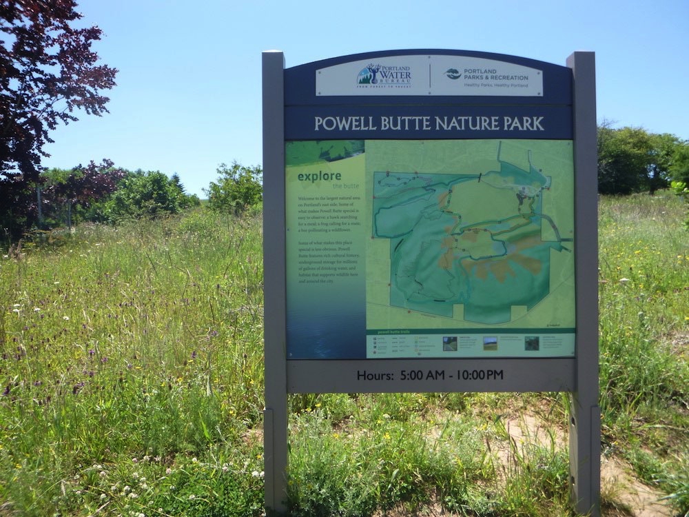
Map of park and trails at the beginning of trails - near Visitor Center
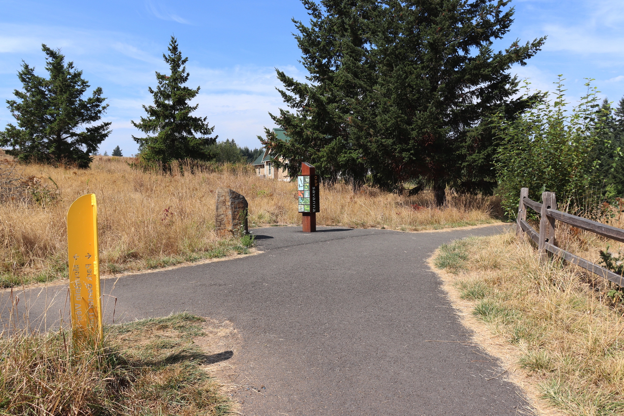
Intersection of Mountain View Trail and Park Center Trail – directional and habitat signage – follow Park Center for AR proposed route
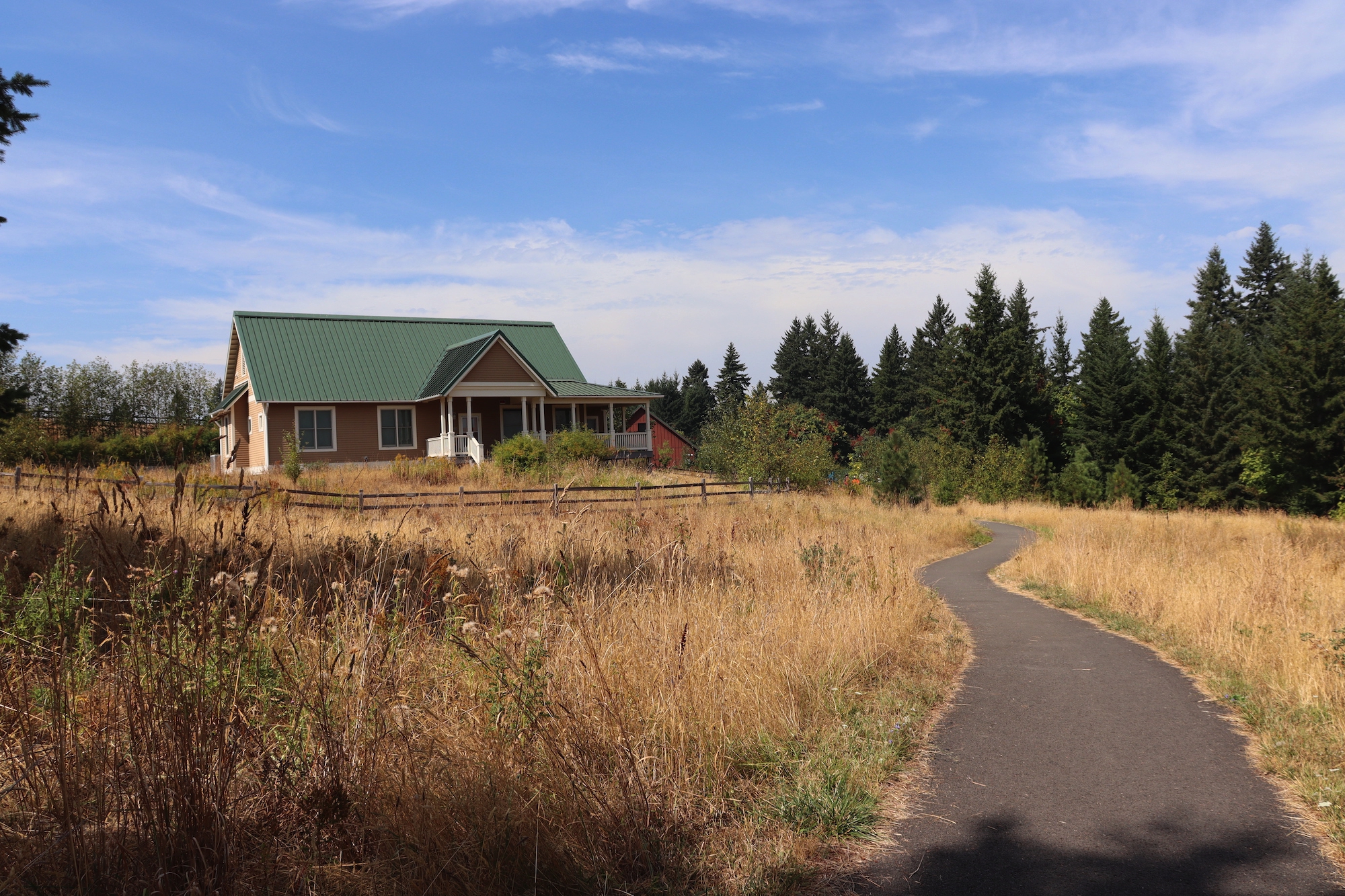
Caretaker’s house off paved Park Center Trail and North Access Lane – paved with some gravel
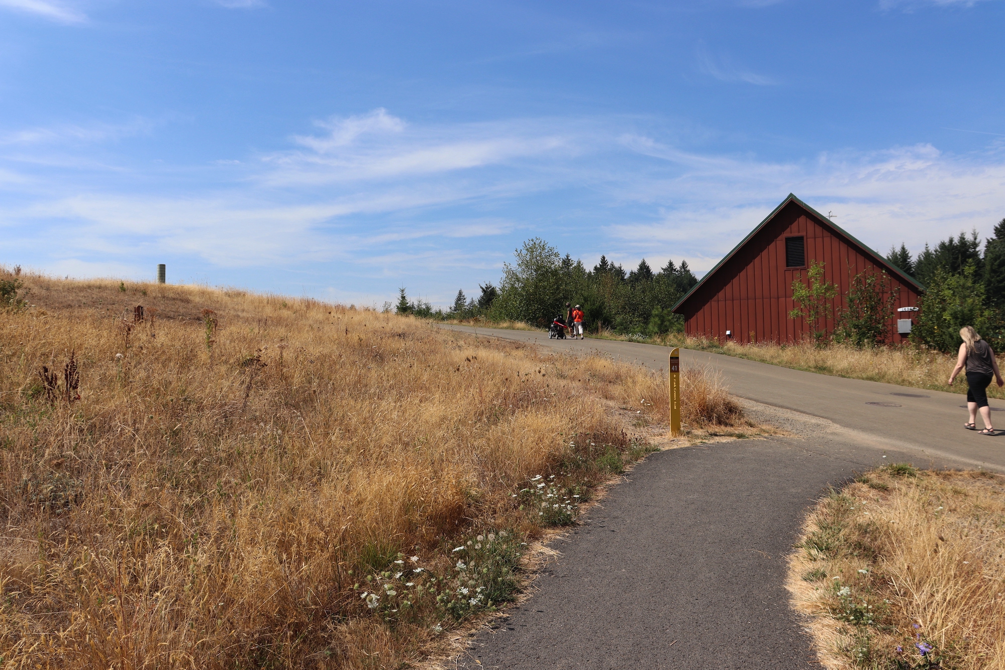
Park Center Trail ends at North Access Lane – go left to follow AR proposed route
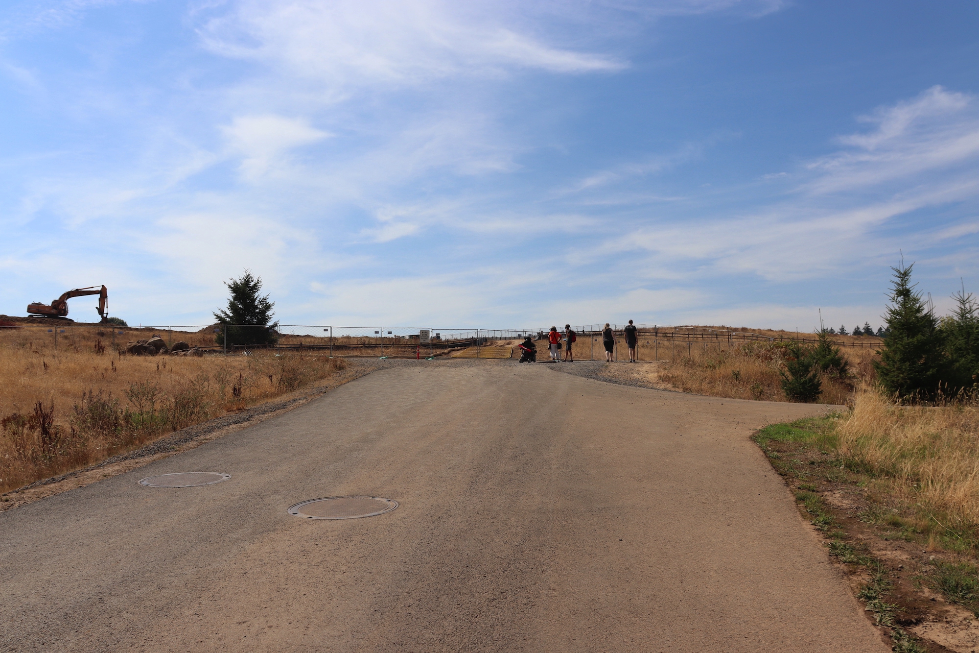
Paved North Access Lane transitions to Pipeline Lane – natural surface trail with loose gravel
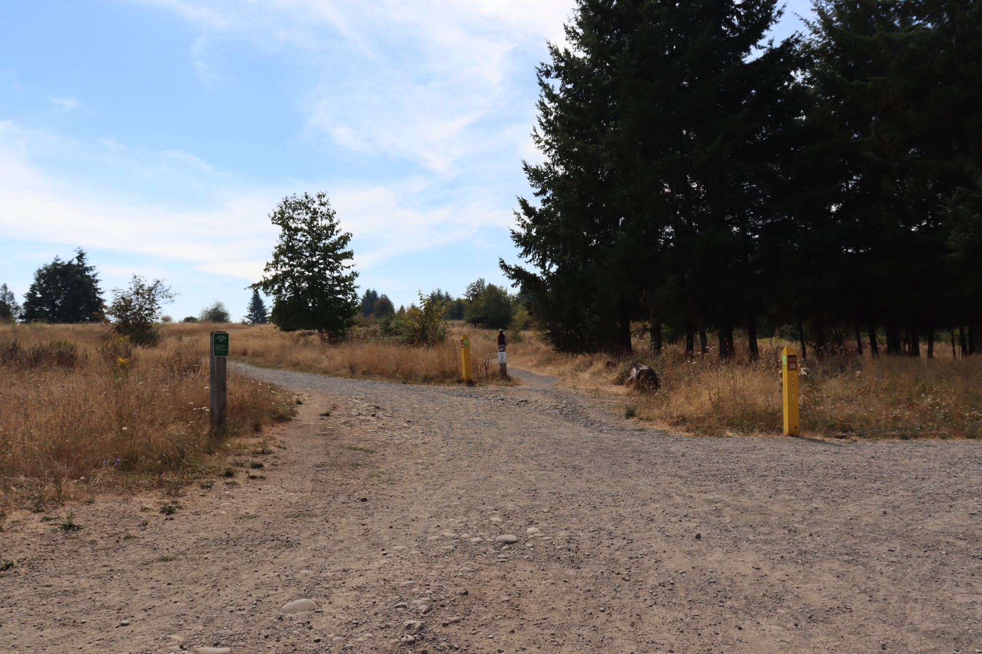
Junction of Pipeline Lane, Meadowland Lane and Forest Edge Trail – go to Forest Edge Trail to follow AR proposed route
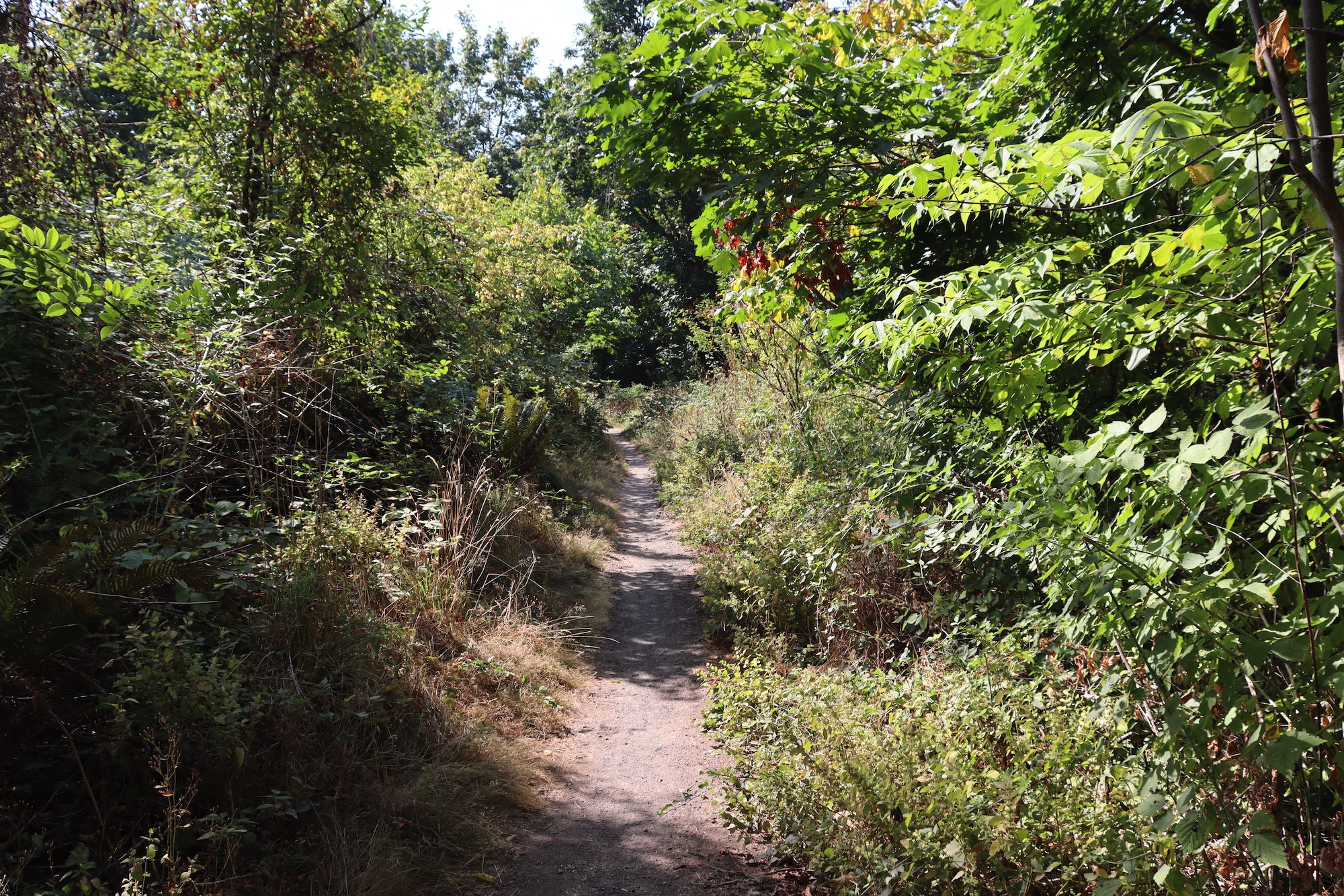
Natural surface Forest Edge Trail can be narrow due to encroaching foliage
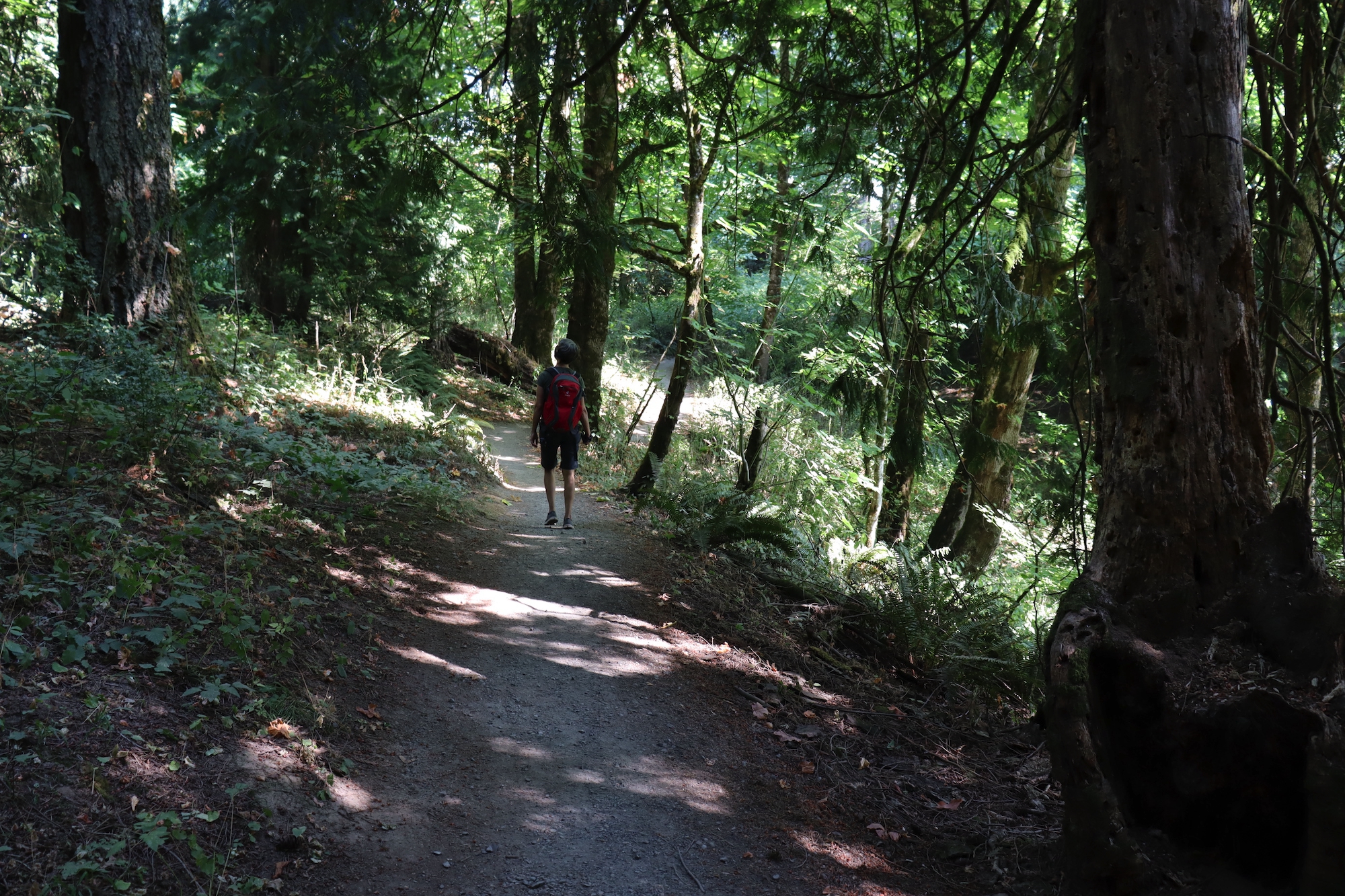
There are steep sections on Forest Edge Trail reaching up to a 27% grade
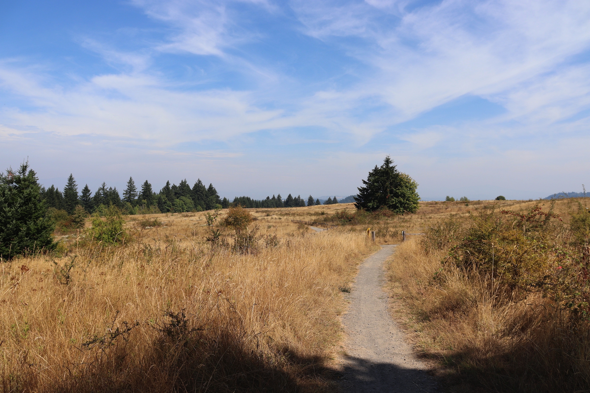
Leaving the forest, the Forest Edge Trail is mostly flat, edged by grasslands
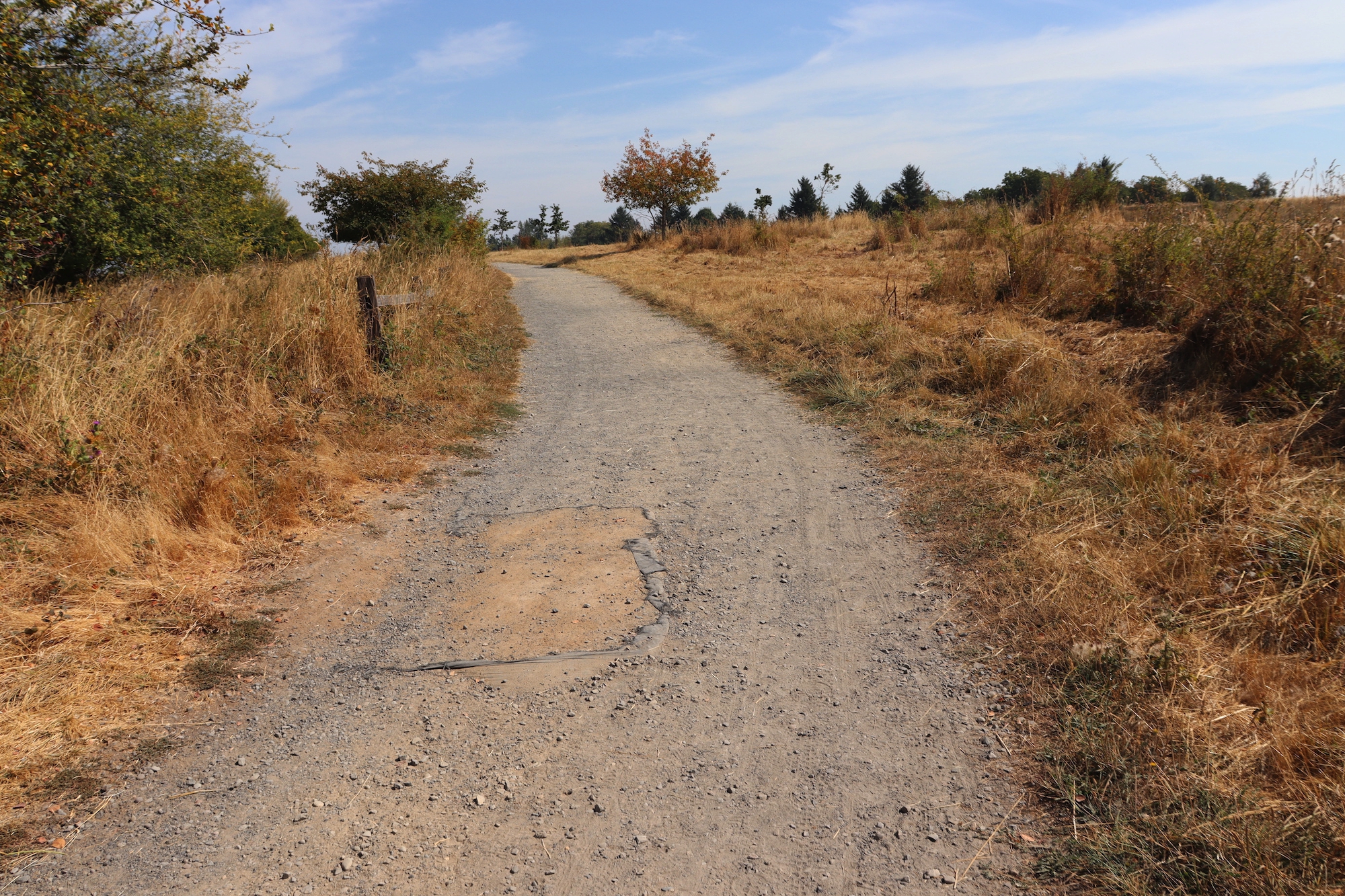
Forest Edge Trail ends at Meadowland Lane a wide natural surface trail – may have areas of erosion
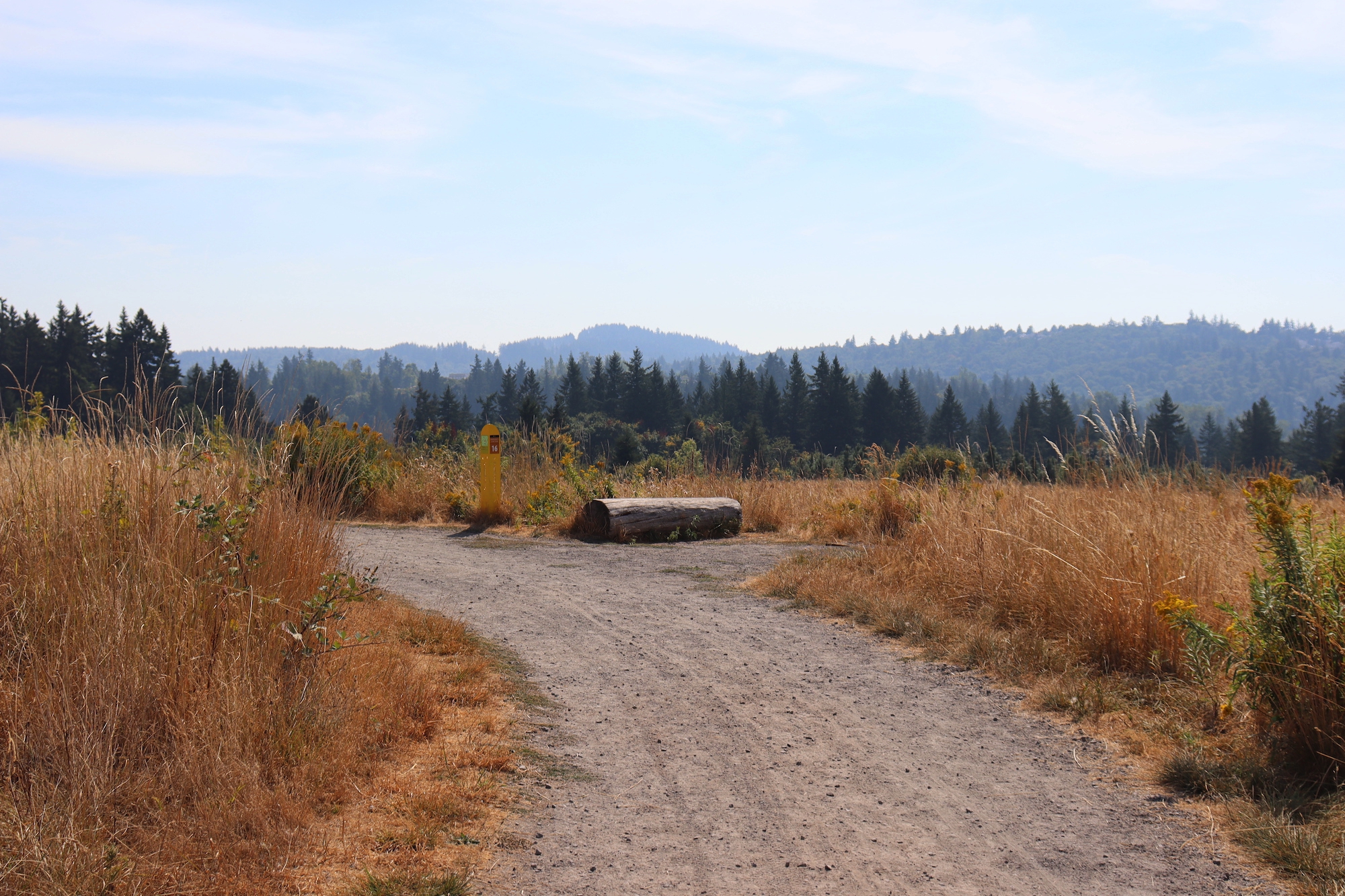
Trail junction of Summit (from Meadowland) Lane and Hawthorn Trail – log to sit on – natural surface
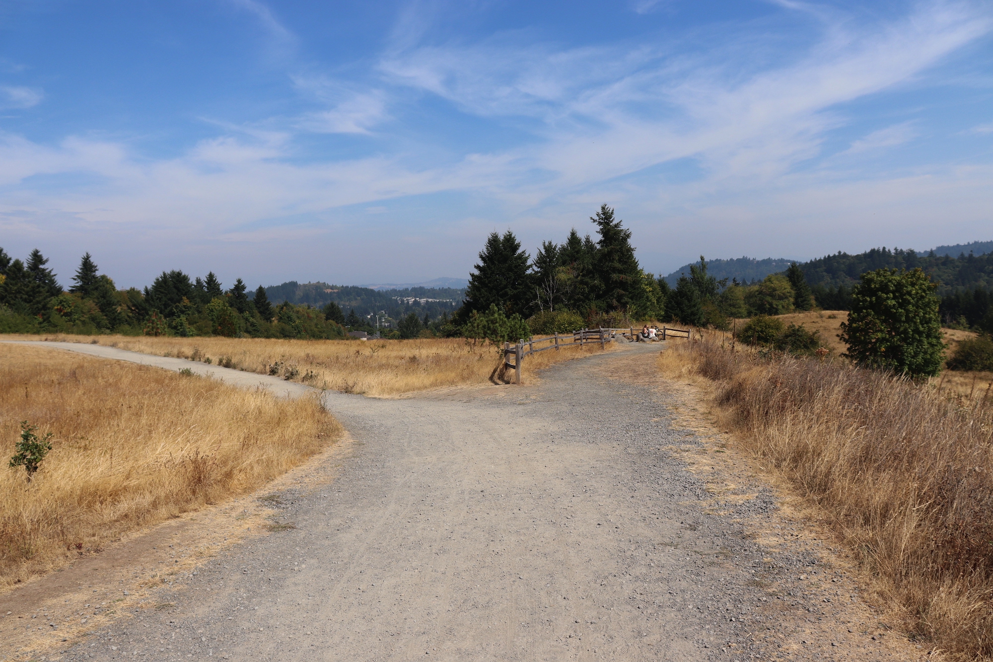
Viewpoint with rocks to sit on – off Summit Lane – wide natural surface trail
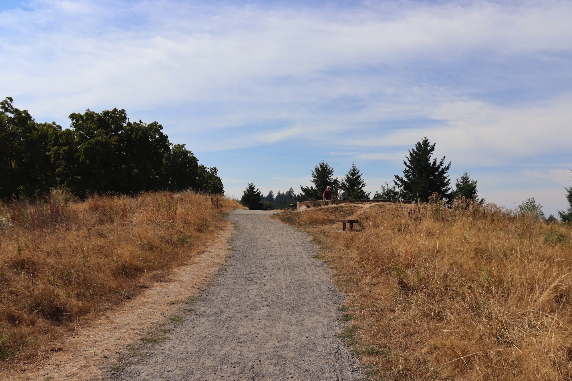
Summit Lane leads to Mountain Finder with bench – Orchard Trail Loop across from Mountain Finder
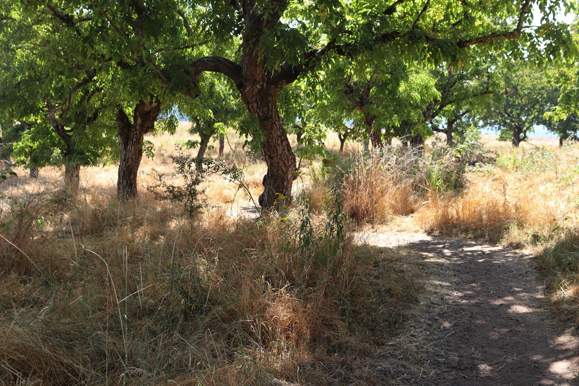
Natural surface Orchard Trail – unmarked, not (currently) on map – fruit and nut trees – up to 13.6% grade
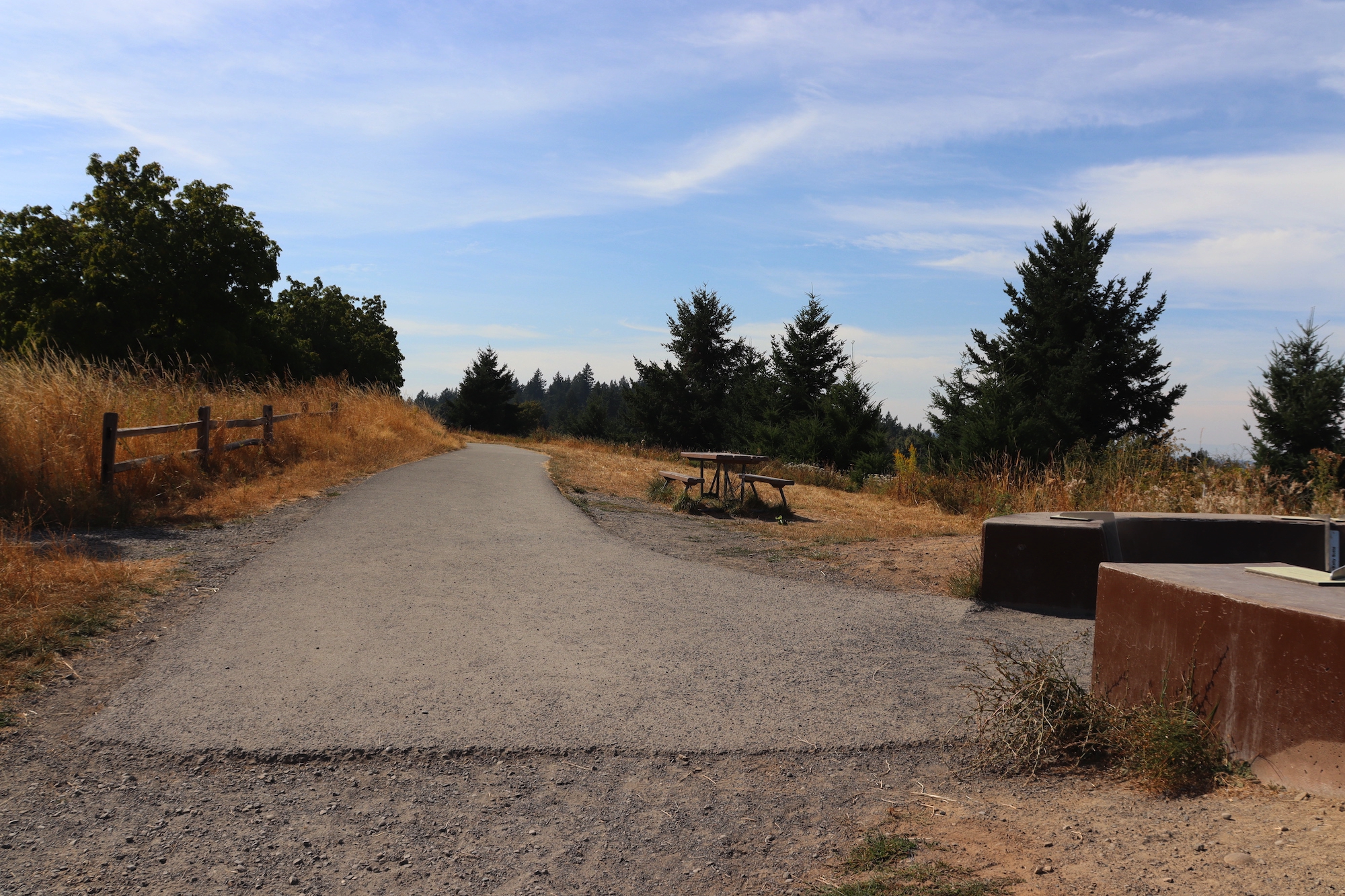
Summit Lane natural surface gravel trail transitions to paved Mountain View Trail at Mountain Finder – picnic bench
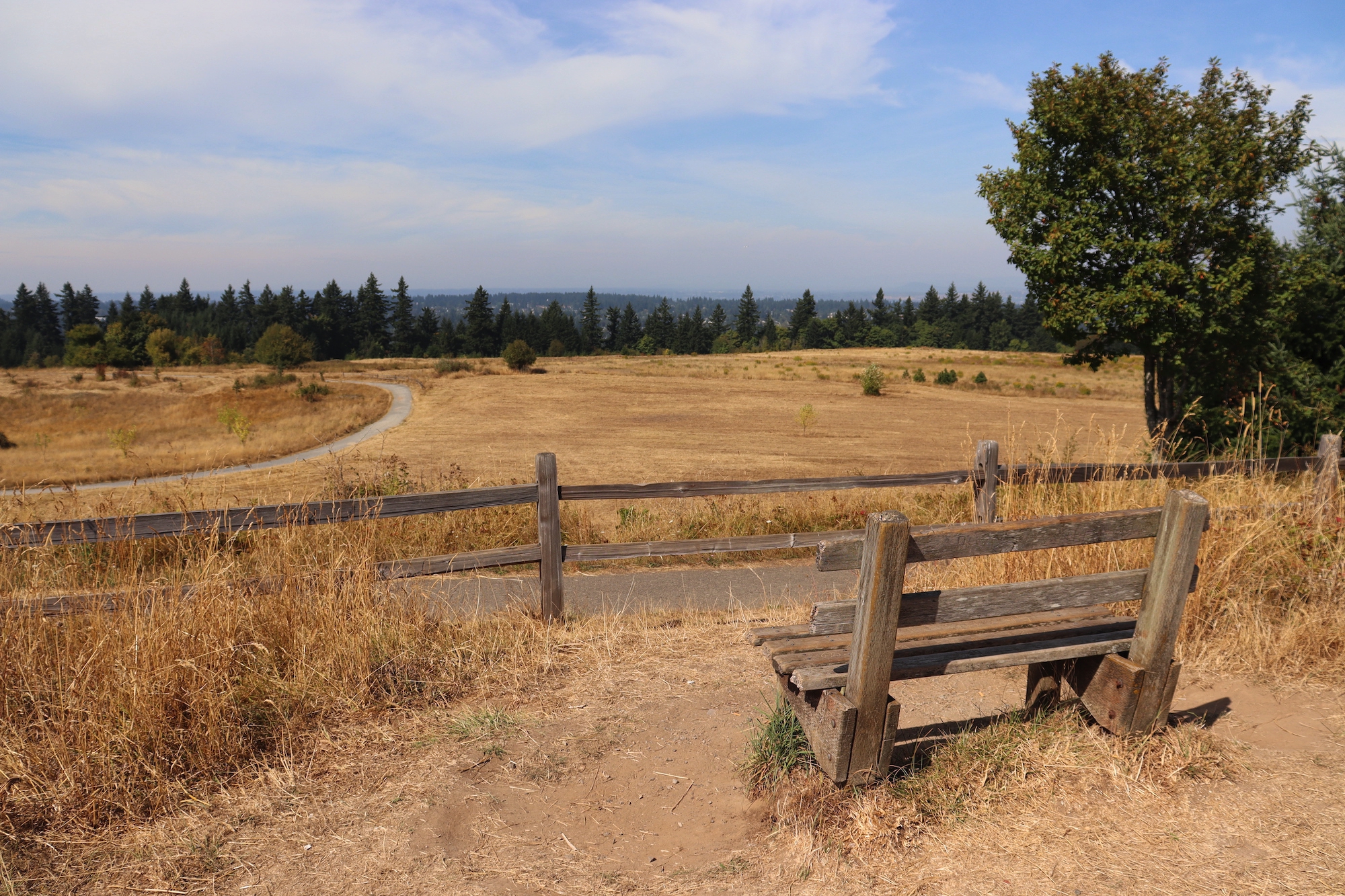
Bench on natural surface with great view off Mountain View Trail
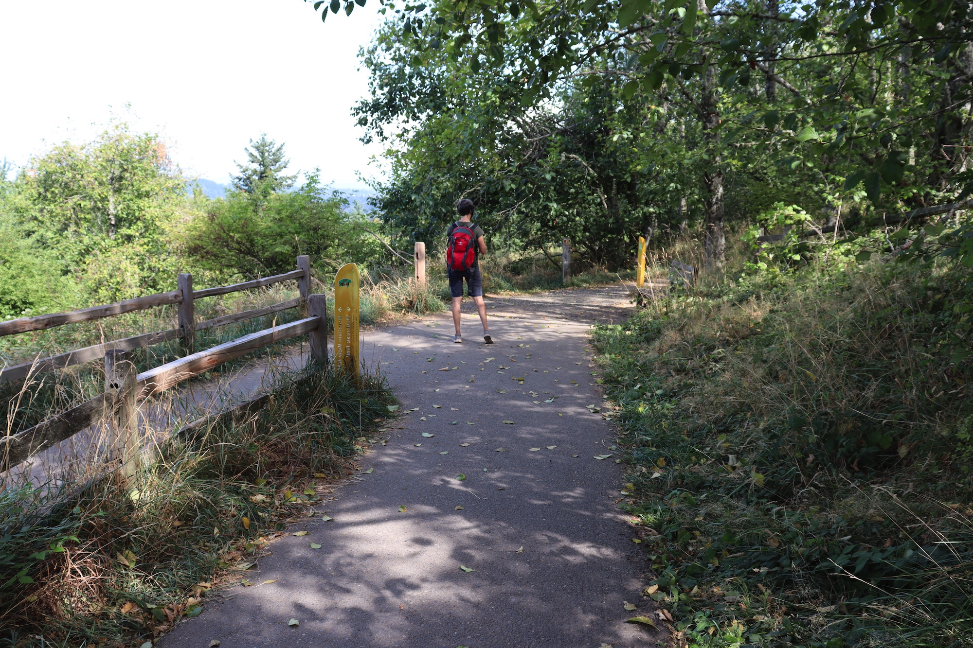
Mountain View Trail continues left – Wildhorse Trail junction with bench – natural surface Wildhorse Trail has short risers
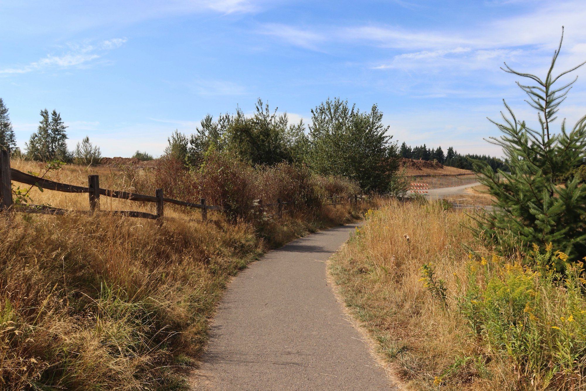
Mountain View Trail – wide paved trail with a low to moderate grade from Visitors Center to summit
Trail characteristics
